Monday, November 12, 2012

Finally Snow!

From the Sangre de Christo Range, we  travelled westwards to the historic mining town of Durango in southern Colorado. Just a few days later, we woke up to this view of our campground:


Our campground is located in the little village of Bayfield, 20 mi east of Durango. Most campgrounds close by the end of October, which adds a little challenge to our trip. There are about 8 campgrounds in Durango, and not one of them was open!

Main Avenue in Durango
Durango is a neat little town boasting a pedestrian-friendly downtown with lots of shopping, dining and entertainment options.
We enjoyed the company of one of my fraternity brothers who lives here since 15 years. He introduced us into some things that make Durango one of the "most likeable small towns of America", according to a lifestyle magazin. All three of us liked it too, so we decided to take a break from living in the trailer and rent a place in Durango for some weeks in January and February, after we are back from our Germany christmas trip.
Downtown Durango


One of the biggest tourist attractions in the area is the historic Durango-Silverton narrow gauge railway which still operates with real steam engines on a daily basis - except a three week break in November exactly at the time when we were there! One reason more to be back next year!


The 150-year old mining town of Silverton

Instead of taking the train, we drove the 50 mi from Durango to Silverton over two snow-covered mountain passes - absolutely no problem for our 4-wheel drive Dodge Ram! But cold it was - see here:
Two "Eskimos" in Colorado
In Silverton
 

Friday, November 9, 2012

Here is the problem:


I know I have not posted in a very long time and most of you suspect rightly that there is a reason: I actually do not know what to say!
The last 6 weeks have been an ongoing up and down and unfortunately I cannot even blame it on the visits of my parents and friends. Those visits helped because they gave me a chance for some social interaction.
But the family peace is constantly threatened and is going up and down.
For example on October 6th (just days after my last relatively positive last post) I could have reported: “This is it! We are going home! Won’t work! Can’t stand each other anymore and before we kill each other, we better go home!”
Unfortunately there is no house to get “home” to anymore. On the other hand that raises the question what is home? Home is probably not a house but people; the people who love you, care for you and take part and interest in your life. And where are those people? Of course in Hilton Head and in Germany. So those places would be home, even without a house!
Like one of my favorite songs in church: The church is not a building….the church is its people…
Back to the beginning of October: the mood was shot, communications stopped, tears flowed and it was clear: we failed, we give up, and we go home. Then my parents came and the time for some productive and sensuous communication possibilities was even less…fortunately Ben slept several nights with my patents in a hotel and we got a chance to talk and fight some more. Manfred and I are both persons who do NOT easily give up! We both hated the thought of having failed. But we did not see a real solution either. Ever since we talk, plan and discuss and sometimes get very close to fighting again….and nothing seems to be right! We came up with a compromise 2 weeks ago but it seems to be one that neither Manfred nor I are really happy with. We both feel like we gave up too much for this compromise! So discussions and new (never before thought about) 
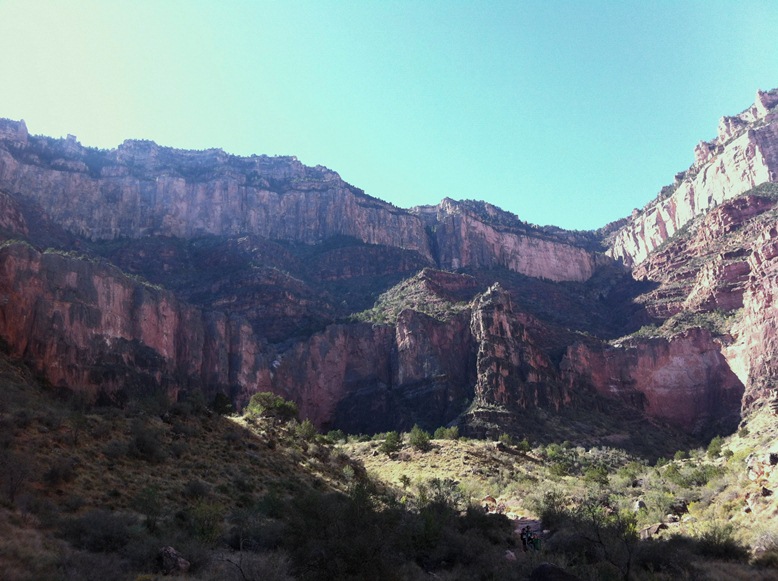
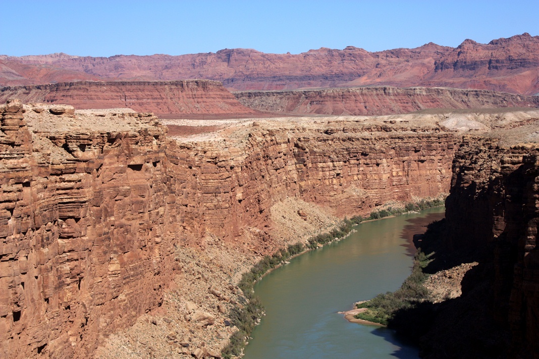
crazy plans arise; see pics! Which makes no sense at all! We seem to be lost, utterly lost in knowing who we are and what we actually want and intended with this trip!!!
Especially since we seldom seem to be on the same page anymore. Most of the time it seems like we want totally opposite things! I am mightily surprised by this change of the original (hoped for) plan! I do know that I wanted to explore and live new ways (and challenges) of life but I did not asked specifically for new challenges in my relationship (I already had enough of those before we started the trip J). But so far this seems to be the outcome: WHAT the heck do WE (as a married couple) want ??? Can we ever be on the same page? I know mostly what I want…I am not sure what Manfred is looking for….and I have no clue what we both together are looking for!
I am even reluctant to post the compromise we came up with because I have no idea if it will change and I will have to correct myself…
Again I am back to stating that I do not know what to say!
We will (as planned) fly home to Hilton Head on November 19th for Thanksgiving with all our friends and then will go on home to Germany on December 4th to spend Christmas with family!
What will we do in 2013? I guess only God knows! 
We need to keep working on it and we need all your prayers because FAILURE IS NOT AN OPTION!
Looking at a farm near Pagosa Springs, CO

Checking out a log cabin near Durango, CO

Are we really considering buying a farm near Durango, CO?

Durango, CO

Monday, November 5, 2012

In New Mexico

It's been a while since my last post. From the south rim of the Grand Canyon, we travelled the I 40 east, stopped at the Petrified Forest National Park, and continued to New Mexico, where we stayed for about 10 days at a campground east of Santa Fe. From there, we continued north via Taos into the Sangre de Christo Mountains and stayed a few days in Eagle's Nest on the eastern slopes of the mountain range. We have now travelled more than 10,000 mi (16,000 km), from the 100+ (37 C) degree summer of the Southeast and the Central Plains to the freezing nights of the high desert here in New Mexico - this morning our water pipes were frozen for the first time, until the sun was high enough to get away with the ice! Maybe that's the time to compliment our truck - it worked flawlessly and always pulled our 12,000 lb trailer without complaining, and with an acceptable overall mileage of about 11.5 mpg (20 l/100km). At an average diesel price of $4.25, the fuel cost per mile is about 37 ct - not bad, I think, and definitely better than what I expected.
Painted Desert inside Petrified Forest NP

The petrified (versteinert) wood that is found so abundantly in the national park results from a rare caprice of nature: Several hundred million years ago, fallen trees were transported by a river to a shallow lake, where they were buried in the the muddy ground before they could decay, after the lake eventually dried out. The mud that formed the lakebed happened to consist of extremely fine quartz crystals - so fine that they could penetrate into the cells of the wood under the pressure of several hundreds feet of sediment that was deposited over the following millions of years.
One of the many petrified logs in the park


This was our campground in the high desert east of Santa Fe. Silke didn't like it here, it was to dry, dusty, and oftentimes windy for her.


At the Santa Fe river
 
One of many pittoresque squares (plazas) in Albuquerque
The center plaza in the historic downtown of Albuquerque


Shopping in the small Sangre de Christo town of Cimarron
Taos - 1 hour north of Santa Fe


Sangre de Christo Mountain Range


Benjamin and his friend Bobby, who visited us with his mom Maryanne for a few days, on one of our hikes in the mountains.


The gorge of the Rio Grande, near Taos


The Rio Grande valley, about 50 mi downstream  from the previous photo 


At the upper Rio Pecos


Tuesday, October 23, 2012

Grand Canyon

What can I write about the Grand Canyon, which pictures should I post when no picture on earth can portray the impression one has when standing at the rim and trying to digest the incredible and dramatic panorama. It is impossible to ban the 180 degree vista in one photo, and it is equally impossible to picture the scenery as it changes with the angle and the color of the sun between sunrise and sunset. Here is my humble try:

The morning sun shining on the western slope of the side valley where the Bright Angel trail switchbacks down to the river 
The same view in the bright midday sun
Grand Canyon at sunset

One of the rare views from the rim on the river, 5,000 ft below


Indian Gardens plateau, 3,300 ft below the rim

I could not resist the temptation to hike the Bright Angel trail down to Indian Gardens, a 9 mi (14 km) round trip over a 3,300 ft (1.000 m) vertical drop. The mean thing is that - unlike "conventional" mountain hiking - the hike starts downhill in the usually cool morning, and uphill after the canyon heats up in the morning sun. The last time I walked down that trail was 17 years ago, and I was really proud that it was not more difficult this time.
View from Indian Gardens Plateau up to the rim
Grand Canyon after sunset


Monday, October 22, 2012

Bryce Canyon

We visited the Bryce Canyon National Park while we stayed at the Kodachrome Basin campground (see last post). We hiked to Queens Gardens and further down the canyon along the Navaho loop. There is not much to say about Bryce Canyon - most people know how erosion, over the course of many million years, created something like a whim of nature that is pretty unique on earth. We enjoyed it immensely, and would encourage anyone who visits America's southwest to spare a day or two for this natural wonder.


Sunday, October 21, 2012

The Grand Staircase

Who knows what the Grand Staircase is or has even heard of it? We definitely didn't, although we travelled the area several times before.
It has even the status of a National Monument (exactly: Grand Staircase Escalante National Monument) and comprises a large area in southern Utah where the erosion weathered down the Colorado Plateau (basically an ancient seabed that was uplifted by colliding tectonic plates some 100 million years ago) from about 9,000 ft (2.700 m) to 3,500 ft (1.050 m). Due to the sedimentary nature of the rock formations, the erosion - mainly caused by run-off waters from the Plateau - resulted in huge steps and not in smooth slopes.
Vermilion Cliffs
 The Vermilion Cliffs (in the background)  mark the last step at the southern end of the Grand Staircase.  The cliff in the front of the picture is the edge of the Colorado canyon, about 10 mi downstream of the Lake Powell dam. Although outside of the National Monument, the Vermilion Cliffs geologically are part of the Grand Staircase.


The Colorado marks the south end of the Grand Staircase

The Grand Staircase has much more to show than just the red sandstone above. Each sediment layer has different colors and erosion resistance, resulting in a wonderful diversity of shapes and colors.


Cottonwood Canyon, accessible only by 4-WD vehicles


Isn't that awesome? Benjamin did not want to believe that these "sculptures" were not man-made!
 
Grosvenor Arch in Cottonwood Canyon


We stayed for three days in a campground in the Kodachrome Basin State Park that is part of the National Monument. Although it just offers dry camping, we unanimously voted our campsite and the whole campgound the most beautiful one of our whole trip.

Kodachrome Basin Campground

View from our campsite


Friday, October 19, 2012

Zion National Park

Coming from Las Vegas, our next stop was Zion National Park, located in southern Utah about 160 miles northeast of Las Vegas. Our travel day and the following day, when we visited Zion, were the first rainy days since we left Hilton Head - no blue skies in our pictures for the first time!
The main - and most spectacular - feature of the park is the 15 mi long Zion Canyon, carved into the so-called red Navaho Sandstone by the Virgin river. The canyon walls rise up to 2000 ft (600 m) above the river and narrow to a width of only 20 ft (6 m) at the end of the part that is accessible by road and/or trail.
We stayed in the Watchman campground inside the National Park where the rubber lining of our trailer roof was damaged by low hanging tree branches - not good in the pouring rain we had this day!

Where the canyon road dead ends, the canyon remains accessible for another mile or so via a trail along the Virgin river. At the end of this trail, the only way to continue into the still narrowing gorge is by wading in the river, something we decided to skip after we checked the water temperature!


Maybe we'll have to come back again in sunshine!


The Virgin cuts away its canyon faster than its tributaries can cut away their own streambeds, so tributaries end in waterfalls from hanging valleys where they meet the Virgin. Therefore, dozens of waterfalls decorate the canyon walls, some of them 1000 ft or more high.
 
When we left Zion the next day, the rain system had moved away, but not without leaving a snow blanket at altitudes above 6,000 ft (1.800 m). We drove eastward on state route 14 that traverses the Dixie National Forest above 8,000 ft (2.400 m) - presenting us a phantastistic winter-wonderland that more than compensated us for the two days of rain.
 
View eastwards toward the 8,000 ft high Colorado Plateau as it stair-steps down in the Bryce Canyon area
 
 
Did I already mention that the yellow and golden colors of the Aspen is one of my most favorite views?